
Maps & atlases
Clear thematic products for field, planning and management decisions.
We shape delivery around the people making the decision: a field team, programme manager, analyst, asset owner or executive.

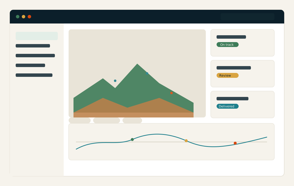
Clear thematic products for field, planning and management decisions.
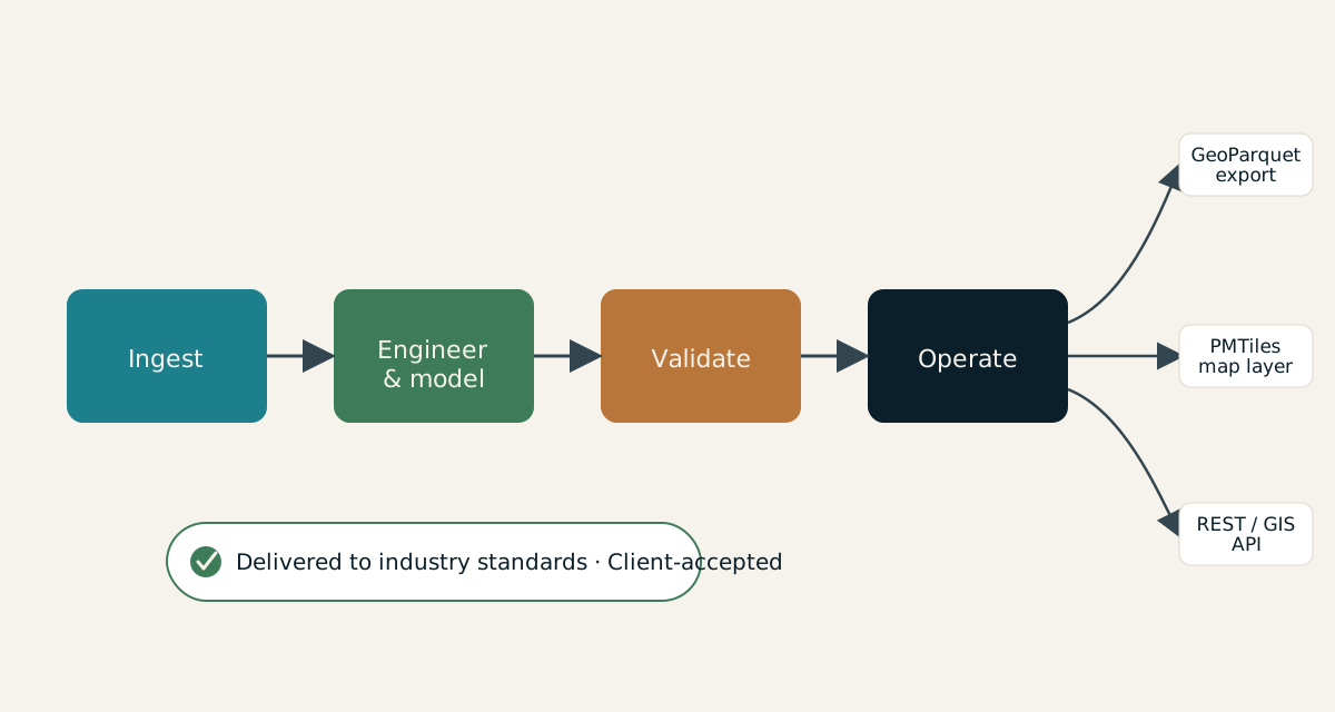
Parcel, asset, corridor and city layers structured for direct use in GIS and enterprise systems.
Role-focused views that bring maps, priorities and supporting evidence together.
Interoperable spatial datasets prepared for analysis, exchange and long-term use.
Secure interfaces that connect spatial intelligence to existing applications and workflows.
Decision-ready recommendations, site comparisons and portfolio views for operational teams.
All deliverables are produced and quality-assured to industry standards and have been accepted by our clients.
Start with a focused conversation about the outcome, the users and the evidence already available.