
Work / Cropland flood-extent intelligence
Cropland flood-extent intelligence
Flood extent mapped across cropland during active monsoon conditions, with parcel context retained for response, assessment and recovery decisions.
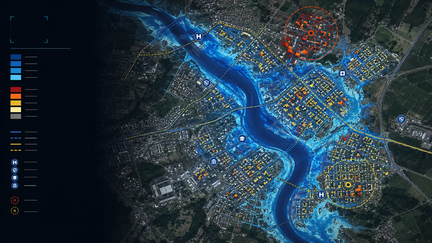
A closer view of the spatial output.
Project visuals are anonymised and framed around the decision they support.

Context and objective
Agriculture and risk teams needed a timely view of inundated cropland when cloud cover made conventional visual interpretation unreliable.
The objective was to convert event-scale flood evidence into an agricultural decision view that retained parcel and field context.
Delivered intelligence
- Flood-extent maps for cropland
- Parcel overlays for affected-area review
- Priority views for field response
- GIS-ready layers for assessment and recovery workflows
Outcome
The output turns an event footprint into a practical view of where agricultural land is affected. It supports faster field targeting, consistent spatial review and clearer communication between programme, insurance and response teams.
Practical value and scalable use
The map sits inside a wider delivery for crop condition, waterlogging and agricultural risk while remaining useful as a standalone event product. It can be repeated across different agricultural landscapes and connected to field or portfolio workflows.
All deliverables are produced and quality-assured to industry standards and have been accepted by our clients.
Bring us the decision. We will shape the spatial intelligence around it.
Start with a focused conversation about the outcome, the users and the evidence already available.